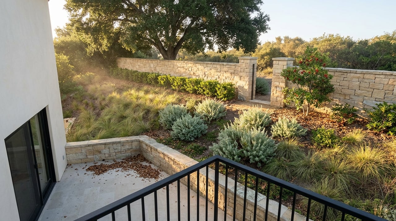
The Trailhead Isn't Where You Think It Is
September 17, 2026
September 17, 2026
Most people who hike Cheeseboro Canyon in Oak Park drive to the same place: the parking lot off Chesebro Road, the one with the paved spaces and the upper dirt overflow lot when those fill up on weekends. It shows up first in every app, every trail guide, every friend's recommendation. What doesn't show up as easily is that if you live on the north or west side of Oak Park, that lot is often the longest way in.
The canyon system has more front doors than the maps suggest, and several of them are just residential streets that happen to dead-end into open space. Knowing which one is closest to your house changes more than your drive time. It changes which trail you end up on entirely.
Cheeseboro Canyon Trail, the main artery through the 4,000-acre Cheeseboro and Palo Comado unit of the Santa Monica Mountains National Recreation Area, runs about 4.6 miles at a gentle, consistent grade from that Chesebro Road lot. It's the trail most people mean when they say they're "going hiking in Oak Park," and it earns the traffic. Wide, shaded in stretches by oak, and easy enough for a family outing or a first mountain bike ride.
But Chesebro Road sits on the far side of the canyon system from a lot of Oak Park itself. If your house is closer to Kanan Road or the neighborhoods off Lindero Canyon Road, driving to that lot means crossing the community to reach a trail system that, in some spots, runs directly behind your own street.
Smoke Tree Avenue and Doubletree Road, both inside Oak Park, connect straight into the Palo Comado side of the network. Neither has a built parking lot. You park along the street, the way you would visiting a neighbor, and walk in from there.
That absence of infrastructure is exactly the point. These aren't managed access points with signage and a kiosk. They're streets that happen to end at open space, used by the people who live near them and largely invisible to anyone searching for "Oak Park hiking trails" online. The Palo Comado Canyon Trail itself runs a full six miles one way, from its southern junction with the Modelo Trail near Cheeseboro up to the China Flat area at Oak Park's northern edge, and the Smoke Tree and Doubletree access points drop you into the middle to lower stretch of that run rather than at either end.
The practical difference: starting from Doubletree Road instead of driving to Chesebro Road means skipping the crowded main lot entirely, at the cost of a less obvious trailhead and street parking that a first-time visitor would have no reason to know about.
There's a third route into this system that most Oak Park residents never think to use, because it doesn't start in Oak Park at all. It starts at Lang Ranch Park and works its way in on foot.
From Lang Ranch, the Oakbrook Vista Trail climbs steeply before rolling into the Sandstone Hills Trail, then descends on singletrack down into Oak Park proper. From there the route gets stranger: you climb a rain gutter to reach Dumaine Avenue, follow the street to Lafitte Drive, cross to Lindero Canyon Road, and pick up King James Ct, which dead-ends at the trailhead for the China Flat Trail, sometimes called Dead Cow. It's steep, technical, and just over a mile, but it tops out with views back over Oak Park and the canyon system beyond.
This isn't a shortcut. It's a genuinely different hike than the graded fire road most people picture when they think of Cheeseboro, and it exists because Oak Park's street grid and the open space around it are woven together more tightly than the trail apps let on.
Fall in Oak Park means two very different trail conditions depending on whether it's rained. Dry, the canyon trails run hot and exposed. Cheeseboro Canyon and the ridge routes above it have little shade once you're past the oak-lined lower stretch, and the advice from people who hike it regularly is consistent: go early, carry more water than feels necessary, and expect a smell of rotten eggs near Sulphur Springs that's sulfur, not decay.
Wet is worse in a different way. The same trails turn into a mud that clings and doesn't come off easily, and the guidance from longtime local hikers is to simply wait a few days after rain rather than push through it. Rattlesnakes are also a real seasonal factor, especially on the warmer, rockier ridge sections, and they're mentioned often enough by hikers on these trails that it's worth watching the path rather than the view for a stretch.
None of this makes the trails unusable in fall. It just means the version of Cheeseboro Canyon you get in October depends entirely on whether it's rained that week, which is a detail no map conveys.
The other fixed point on Oak Park's fall calendar is the Oak Park Halloween Carnival, run by the Rancho Simi Recreation and Park District at the Oak Park Community Center. This year it lands on Saturday, October 31, from 3 to 6 p.m., a Saturday date that's worth noting if you're used to it landing on a weeknight in past years. It's the kind of afternoon that bookends a fall hike well: trail in the morning while it's still cool, carnival games and candy by mid-afternoon once the day heats up.
If you're looking for something after either one, the restaurant lineup along Lindero Canyon Road has shifted this year. The space that spent years as Margarita's Mexican Grill is now Norita's Bar & Grill Cocina Mexicana, one more sign that Oak Park Plaza keeps turning over tenants even as the plaza itself stays a constant.
None of this changes what Oak Park is. It changes how well you're using it. The canyon system that borders the neighborhood isn't a single destination with one correct entrance. It's closer to a shared backyard with several gates, and the gate nearest your house is probably not the one every hiking app defaults to.
That's true of a lot of Oak Park, honestly. The parts of daily life here that feel the most local, the trail access off an ordinary street, the plaza tenant that just changed, the carnival date that shifted a day, aren't things you'd find by searching generically. They're things you notice by paying attention to the specific place you're in.
If you're weighing a move within Oak Park, or wondering how a change like this shifts the value of being three streets closer to open space instead of three miles from a parking lot, that's the kind of local read The Arledge Group spends its time on. Request Your Home Valuation and we'll walk you through what your specific street, not just your zip code, is actually worth right now.
Stay up to date on the latest real estate trends.

Whether your plans to buy or sell your home are immediate, or in the future, we hope you will take our services seriously. We will show you why working with The Arledge Group and Compass will be the right experience for you. Excellence is expecting more than others think possible.
Get In Touch With Our Team To Learn More

The Arledge Group
[email protected]
(818) 519-4429
Denise Arledge | CA DRE# 01040071
2945 Townsgate Rd Ste 300 Westlake Village CA 91361